
Location Plan Scale Explained: Your Complete Guide for Planning Applications
Learn what location plan scale means, how to choose the right scale, and how Niubx helps you prepare accurate planning application documents.
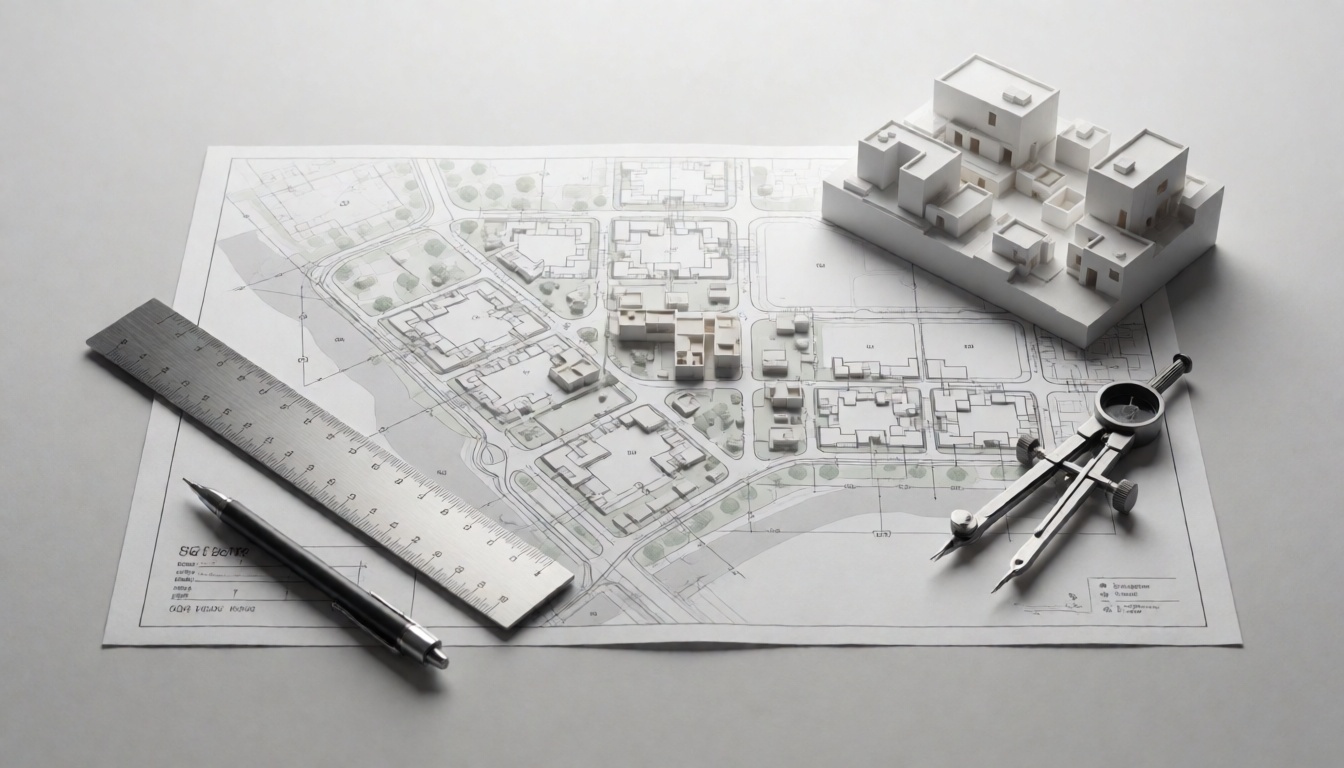
What Is a Location Plan Scale?
A location plan scale is the ratio that defines the relationship between distances on a map and their corresponding measurements in the real world. When you see “1:1250” on a drawing, it means that 1 unit on the plan—whether a centimetre or an inch—represents 1,250 of the same units on the ground. In practical terms, a 1:1250 location plan shows a site in enough detail to identify individual buildings, boundaries, and road layouts, while still providing the surrounding context that planning officers need.
Planning authorities require location plans to show the application site within its wider environment. The scale you choose determines how much of that context is visible, how clearly your red line boundary is understood, and whether your application is accepted as valid on first submission. A properly scaled location plan gives planning officers the confidence that your proposals are accurately represented, reducing the risk of delays or outright rejection.
Standard Location Plan Scales for Planning Applications
While there is no single legally mandated scale for every application, planning practice in the UK has established clear conventions that applicants should follow.
1:1250 — The Industry Standard
The most common scale is 1:1250, used for the vast majority of planning applications in urban and suburban areas. At this scale, a site of roughly 0.5 hectares can be shown clearly along with at least two named roads, allowing planning officers to orient the application within its immediate neighbourhood. If your site is a standard residential plot, a small commercial unit, or a typical urban infill development, 1:1250 is almost certainly your starting point.
1:2500 — For Large or Rural Sites
Large rural sites, such as agricultural buildings, equestrian developments, or significant greenfield land, often require a 1:2500 scale. This smaller scale allows a much wider area to be shown on a single sheet, which is essential for demonstrating how the development relates to the surrounding landscape, distant road networks, and neighbouring settlements.
1:500 — For Small Urban Sites
Conversely, sites located in dense urban environments with complex boundary lines may benefit from a 1:500 scale. This larger scale shows greater detail, making it easier to distinguish between the application site and adjoining properties, alleyways, and shared access routes. Some local planning authorities specifically request 1:500 plans for sites in conservation areas or where boundary disputes are historically problematic.
The best starting point is always your local planning authority’s validation checklist. Many councils publish explicit guidance on preferred scales, and adhering to it from the outset saves significant time and frustration.
How to Choose the Right Location Plan Scale
Choosing the correct location plan scale is not just about following a rule of thumb—it is about ensuring your plan communicates the right information effectively.
First, select a scale that clearly shows the site boundary and at least two named roads. This requirement comes directly from the UK government’s planning guidance, and it exists so planning officers can quickly locate your site without zooming in and out of digital systems.
Second, consider the physical size and shape of your site. A large, irregularly shaped plot may need a smaller scale (like 1:2500) to fit on a standard A4 or A3 page while retaining enough surrounding context. A compact, regular site can comfortably use 1:1250 to show greater local detail.
Third, always check the planning authority’s requirements early in the process. Some councils have their own templates, preferred scales, or even specific software requirements. A quick review of their validation checklist can prevent the most avoidable cause of invalid applications: incorrect scale.
How to Show the Scale on Your Location Plan
Getting the scale right is one thing; presenting it correctly is another. A professional location plan must include three essential scale-related elements:
- A graphical scale bar: This is a horizontal bar divided into segments representing real-world distances. A scale bar ensures the plan remains accurate even if it is printed at a different size or resized digitally. Unlike a numeric scale, which becomes inaccurate when the page is resized, a scale bar scales proportionally with the drawing.
- The numeric scale: Add the ratio (for example, 1:1250) directly below the drawing title. This gives readers an immediate understanding of the plan’s level of detail.
- A north point and title block: These are not strictly “scale” elements, but they are essential companions. A north point allows the reader to orient themselves correctly, and a title block containing the plan reference, site address, and revision date provides professional context.
If you are submitting digitally—as is now standard in most UK local authorities—your PDF should ideally be saved at the correct scale so that measurements taken within PDF viewers are accurate.
Common Location Plan Scale Mistakes to Avoid
Many planning applications are returned as invalid for reasons that could be avoided with a little attention to detail. The following mistakes are the most common:
- Using an incorrect scale: This is the single most frequent reason for invalid applications. Submitting a 1:2500 plan when the local authority requires 1:1250, or vice versa, results in an immediate rejection notice.
- Resizing a drawing without updating the scale bar: If you extract an image from a drawing, resize it in image editing software, and then add a fresh scale bar, the measurements will be distorted. The scale bar must be part of the original drawing at the same scale.
- Submitting a screenshot from online maps without a scale bar: Screenshots are not professionally scaled drawings. They lack a graphic scale bar, a north point, and the accuracy required for planning submissions. They also often fail copyright requirements.
These mistakes are entirely preventable when you use a professional plan generation service that produces compliant documents from the outset.
Location Plan Scale vs Block Plan Scale
Understanding the difference between a location plan and a block plan is crucial for assembling a complete planning application package.
A location plan uses a smaller scale—usually 1:1250—to show the site within its wider surrounding context. It demonstrates where the site is, which roads adjoin it, and how it relates to the local area.
A block plan uses a larger scale—typically 1:200 or 1:500—to show the application site itself in far greater detail. It includes building footprints, access roads, parking arrangements, landscaping, and other site-specific features. The block plan is where the proposal’s layout is evaluated in depth.
Some planning authorities also require a site plan at an even larger scale, such as 1:100 or 1:200, when the application involves detailed architectural or landscaping changes. Submitting all three documents—location, block, and site plans—at their correct scales demonstrates professionalism and thoroughness.
How Niubx Helps You Prepare Accurate Location Plans
Preparing a compliant location plan from scratch can be time-consuming and error-prone, particularly if you are not familiar with planning requirements. This is where Niubx simplifies the process significantly.
Niubx generates location plans with the correct scale automatically from just your postcode and site boundary details. You do not need to guess at scales, manually draw boundary lines, or worry about whether your plan meets UK planning application standards. The system handles it all in the background.
Every plan produced through Niubx includes:
- A graphical scale bar that remains accurate even when the document is resized.
- A clear north point for orientation.
- A defined red line boundary that precisely demarcates the application site.
- The correct numeric scale displayed prominently below the drawing title.
In addition, Niubx plans are designed from the ground up to meet UK planning application standards, so you can submit with confidence. Whether you are submitting a single householder application or managing multiple residential projects, the platform streamlines the entire process.
If you are preparing planning documents regularly, you may also benefit from the Niubx Autopilot SEO Content Engine to strengthen your business’s online visibility, or explore the Starter Plan if you are just getting started. Those managing e-commerce sites can integrate the WordPress Plugin or the Shopify Plugin to automate content and improve site performance, while the Scale Plan option is available for those who need professional planning documents at scale.
For a deeper understanding of how automated tools can improve your workflow, check out the SEO Content Optimization Tool: The Complete Niubx Guide to Rank Higher in 2025. If you use WordPress, the Ultimate Guide to WordPress Plugins: How to Choose, Install, and Manage Them for Maximum Performance offers practical advice, while the WordPress Module Plugin: The Complete Guide to Features, Benefits, and Selection covers module-based functionality in depth.
Professional tip: Always download and review your location plan in PDF format before submission. Check that the scale bar is visible, the north point is present, and the red line boundary is clearly identified. A quick visual check takes less than a minute and can save weeks of validation delays.
Frequently Asked Questions About Location Plan Scale
Can I use a screenshot from Google Maps as a location plan?
No. Screenshots from Google Maps or other online mapping services do not meet the technical specifications for planning applications. They lack a graphical scale bar, a north point, and the dimensional accuracy required by planning authorities. They may also breach mapping copyright terms. Always use a professionally generated location plan that includes the correct scale and boundary information.
What happens if my location plan scale is wrong?
If your location plan scale is incorrect or absent, the planning authority will likely mark your application as invalid. This means the application will not be registered, and your fees may be returned, or you may be given a limited time to correct the submission. This delays the entire process. Checking your plan against the council’s validation checklist before submission is always worthwhile.
Do I need to print my location plan to a specific scale?
For digital submissions, the PDF itself must contain the correct scale information. The planning authority will typically view the document on screen or print it themselves, so the graphic scale bar is essential. If you are submitting a physical paper plan—which is increasingly rare—it must be printed at an exact scale so that measurements taken with a ruler are accurate. Even for digital submissions, professional practice is to produce the plan at the correct page size and scale from the outset.
What is the difference between 1:1250 and 1:2500?
A 1:1250 plan shows the site at a larger size, meaning more detail is visible. A 1:2500 plan shows a wider area but with less individual detail. For most planning applications, 1:1250 is the required scale because it provides enough local context while keeping individual buildings and road names legible. Use 1:2500 only when the site is large enough that the surrounding context would not fit at 1:1250.
Can Niubx produce location plans for large rural sites?
Yes. Niubx can automatically adjust the plan scale based on your site’s size, producing a 1:2500 plan where appropriate. The platform ensures the scale bar, numeric scale, and boundary lines are all accurate and compliant, regardless of whether you are submitting for a small urban plot or a large rural estate.